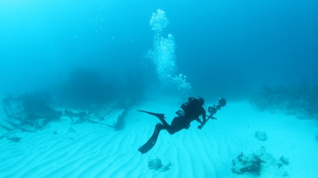
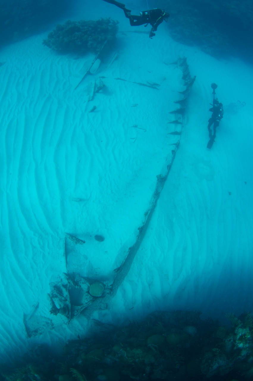
 divers filming the stern of Mary CelesteBermuda's signature shipwreck the Mary Celeste can now be viewed on Google Street View.
Google Street View is a technology featured in Google Maps and Google Earth that provides panoramic views from positions along many streets in the world. It was launched on May 25, 2007, in several cities in the United States, and has since expanded to include cities and rural areas worldwide.
The Department of Conservation Services worked with Catlin Seaview Survey Head of Operations Christophe Bailhache and his team to make the Mary Celeste possibly the first shipwreck to appear on Google Street View.
Click here for the full press release [PDF]
To view the Mary Celeste on Google Street View, follow this link.